See What's Underground — Before You Drill.
POISK's patented NMR-based remote sensing technology delivers high-confidence mineral detection, revealing subsurface resources with precision - anywhere on Earth.
Reduce drilling risk. Cut exploration costs. Accelerate discovery.
Direct NMR Detection - Remote, Accurate, Proven
POISK's patented technology identifies actual NMR signatures of subsurface resources, enabling direct detection rather than inference. Works across diverse geological settings including deserts, jungles, mountains, offshore basins and remote regions.
Our system identifies hydrocarbons, metals, natural hydrogen, groundwater and other subsurface anomalies remotely and before any drilling begins.

Hydrocarbons
Onshore and offshore oil and gas exploration to depths of 7,000 m.

Metals & Ores
Detection of metal-ore deposits including precious metals to depths of 6,000 m.

Groundwater + Geothermal
Fresh, saline and geothermal aquifers to depths of 6,000 m.

Natural Hydrogen
Identification of natural hydrogen accumulations — a fast-emerging exploration target.
Our Workflow
A Four-Step Process to High-Confidence Targeting
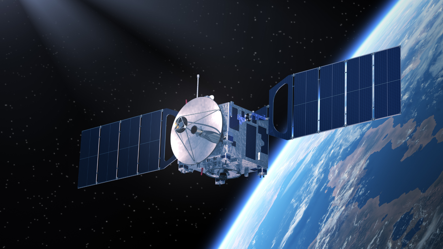
Remote NMR Data Acquisition
Satellite or ground-based measurements capture NMR responses from the subsurface.
Signal Processing & Filtering
Proprietary algorithms isolate mineral-specific resonance signatures.
Subsurface Mapping
We generate maps showing location and geometry of anomalies associated with mineral resources.
Target Ranking & Recommendations
You receive a prioritized list of drilling targets with confidence levels.
Satellite-first exploration workflow
Survey onshore & offshore areas.
Our remote sensing technology reduces exploration costs by 50–80% and shortens project timelines by up to 80%.

Up to 1,000 km²
2–3 months
Up to 10,000 km²
Approximately 6 months
100,000 km² and above
Timeline available on request
- 7 000 m
- Onshore & deep offshore depth
- 70–75 %
- Precision / success rate
- 2–6 months
- Full cycle from survey to deliverables
Why POISK Technology
Our NMR-based remote sensing skips the guesswork that defines conventional exploration. Where conventional seismic infers what may be present, POISK's NMR-based method directly identifies hydrocarbon, water and metal signatures.
Commercial value
- 70–75% success rate
- 50–80% lower exploration costs
- Up to 80% faster cycle time
- Eco-friendly, non-invasive — aligned with ESG principles
Operational advantages
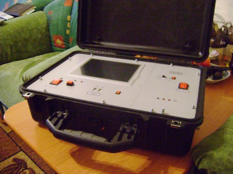
- Remote deployment worldwide
- Satellite-based subsurface detection
- Multidisciplinary scientific team
Scientific credibility
- 360+ projects worldwide
- 8+ patents with active certifications
- 300+ scientific publications
- Proprietary algorithms & equipment
Deliverables
- High-resolution mapping of anomalies
- Estimation of horizon depths and thickness
- Resource estimation + drilling-point optimisation
- Block evaluation pre-bid; ranking of acreages
Watch the method
The method in action.
A short look at the POISK exploration workflow from satellite reconnaissance to drilling-target recommendations.
- 8+
- patents
- 2
- certifications (2025–2028)
- 300+
- scientific publications
- 360+
- projects delivered
- 2.1B
- barrels in one Russian discovery
International delivery
Strategic Partnership
POISK Group operates internationally in partnership with local partners who handle client engagement, contracting and project delivery in the countries and regions in which they operate, ensuring contractual continuity under their jurisdiction. If you are interested in partnering with us, please get in touch — info@rs-geotech.com
Start Your High-Accuracy Exploration Today
Let's evaluate your target area and show you what's underground - before you drill.
Submit your Inquiry / Ask a Question